GPS Utility is a program that is used for managing GPS information. Using it, you can easily store important details and can also transfer data from the GPS Receiver. It’s a lightweight utility and can be downloaded easily on your system. It also makes sure that you can edit, add, or remove different elements from the files.
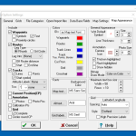
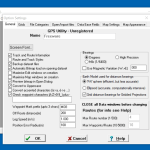
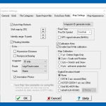
However, when you install the application for the first time on your PC, you have to provide the administrator privileges, so it can work properly. The tool has an intuitive interface and provides various menus to adjust the settings according to their desire.
Besides, it also allows you to add GPS information, map annotations in the text, and image form. Since it helps you edit route segments, you don’t have to worry about the tracks anymore.
How to Download GPS Utility
To download the program, click on the Download button located below this review.
The Program Review
It’s complicated to adjust the waypoints and routes manually. That is why it’s essential to use a program that helps you to adjust TrackPoint, GPS information, and many more. Therefore, we have searched for a reliable tool for you named GPS Utility that is simple and has a user-friendly interface.
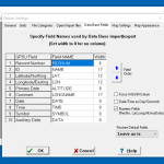
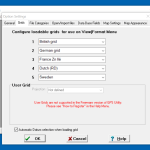
This software has popular features, including View Waypoint, Lat-Long (DM), Units, etc. Those who don’t have much information about GPS can also use it with ease. Moreover, it allows you to edit the files in different formats, such as GDS, TXT, CSV, and more. You can also edit the details like ID, Symbols, and Comments.
Additionally, it makes sure that you can easily create new files and add them to your GPS. By following a few simple steps, you can import and export files as well.
The Key Features of GPS Utility
The features of GPS Utility are as follows:
- Manage your Information
It allows you to manage GPS data, including editing, sorting, and filtering of data. You can also select waypoints and easily edit the GPS details. Even it makes sure that users can reverse the routes without facing any issues.
- Import and Export Files
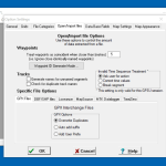
If you have just the settings and want to keep them, this tool will allow you to do it. That means you can easily import/export waypoints and tracks.
- Mapping
Once you have gotten the raw GPS data, you can easily draw and print them on the scanned image. After that, you can save those maps in the form of custom maps.
- Analysis of Data
Users can get information or reports of maps created. The representation can be in the tabular form or graphical. Besides that, you can also save the reports in the document form.
- Real-Time Functions
Once the map is displayed, you can get real-time statistics. The details that you can get include speed, bearding, distance, etc.
- Support for Different Formats
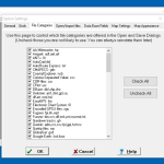
It provides support for different formats, including CSV, HST, WP, XCU, MIF, etc.
Conclusion
To sum all, GPS Utility is a useful application for beginners and professionals. With the help of this program, you can quickly manage GPS information and can create custom maps.

