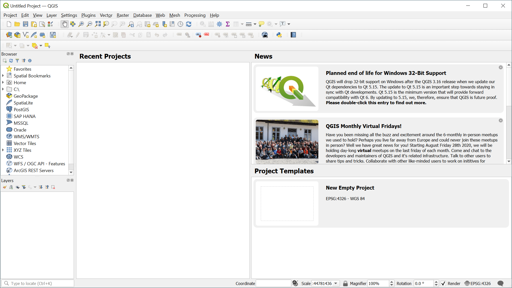
When it comes to open-source, community-based geographic information systems, few programs beat QGIS. That’s a big statement, but it is one that is backed up by proven capabilities and more than a few user accolades. You don’t have to take their word for it, however, as we are more than happy to tell you about what we like about QGIS.
How to Download QGIS
To download the program, click on the Download button that is located below this review.
The Program Review
An official project of the Open Source Geospatial Foundation (OSGeo), QGIS employs a clear, easy-to-understand graphical user interface that is loaded to the gills with information, options, and relevant database formats and associated functionalities.
Aside from core functionality, QGIS can be augmented with a series of Python plugins per the user’s individual needs.
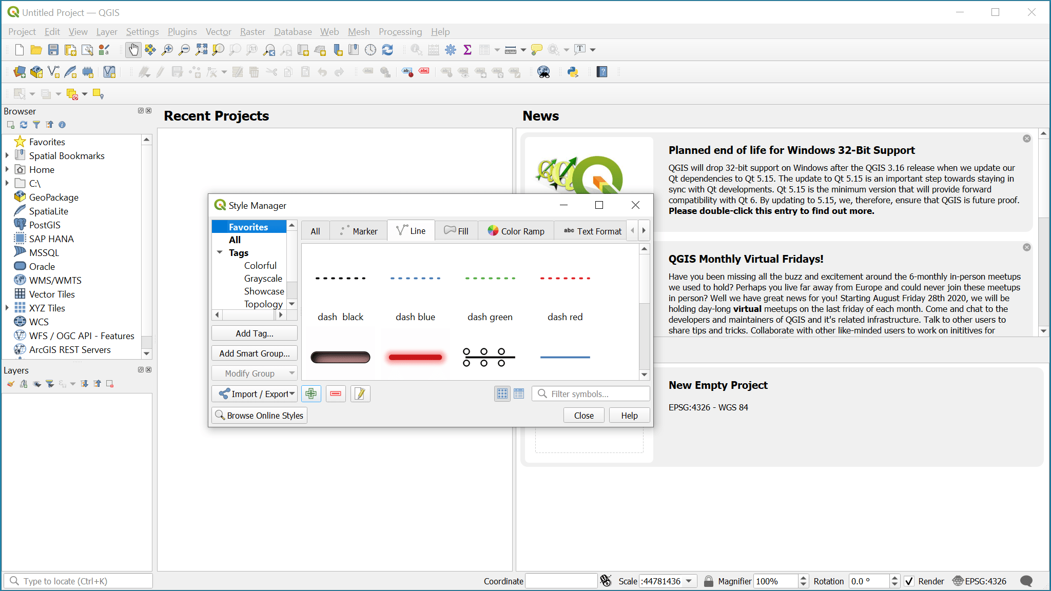
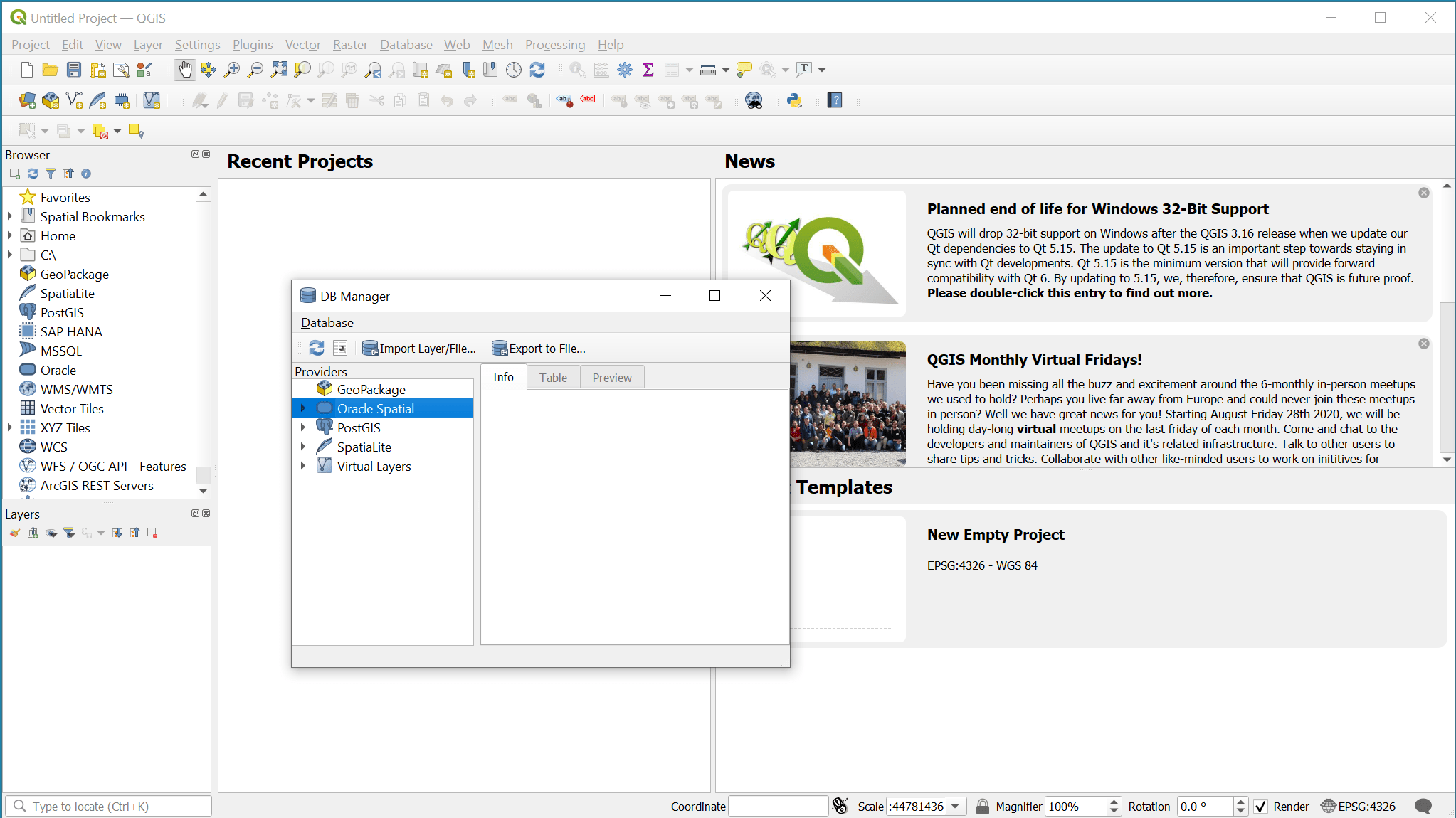
Some of the major features included with QGIS range from spatially-enabled tables utilizing PostGIS, SpatiaLite, and MS SQL Spatial, Oracle Spatial to vector formats such as the OGR library (GeoPackage, ESRI Shapefile, MapInfo, SDTS, GML, and many others).


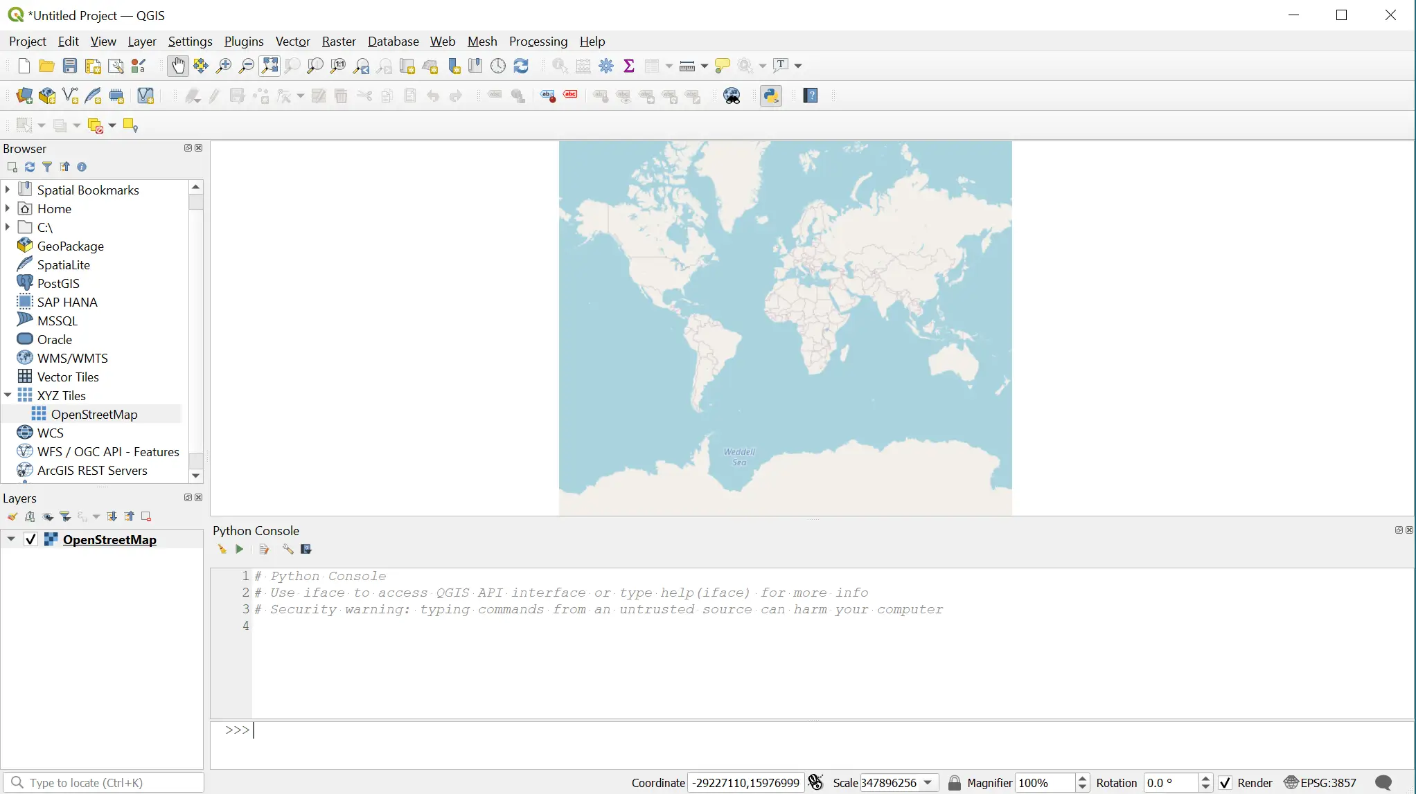
QGIS also works with Geospatial Data Abstraction Library raster and image files like GeoTIFF, ERDAS IMG, ArcInfo ASCII GRID, JPEG, and PNG, in addition to others. You can also view mesh data, vector tiles, GRASS raster, OGC Web Service-provided online spatial data including WMS, WMTS, WCS, WFS, and WFS-T. Users can also explore data and compose maps, create, edit, export, and manage datasets, and perform detailed analysis. Users can publish compiled data to the web using WMS, WCS, and WFS protocols via a webserver.
Of course, one of the major features that people love about QGIS is its ability to use a range of plugins. Some of the more popular ones, such as DB Manager, allow you to execute SQL queries as well as exchange, edit and view layers and tables between databases. There’s also a bevy of GPS tools, GRASS 7 integration, Georeferencer GDAL, and offline editing. Plugins are created using either Python or C++ languages and tend to cover a bunch of different functionalities so that users can customize their experience however they want.
A major concern that many people have with open-source software is that it will either not adapt quickly enough to changing needs or it will be abandoned entirely. QGIS is a volunteer-based project that is bolstered by a strong community of dedicated users and developers who are constantly iterating on the core program.
Updates are regular, frequent, and typically incorporate user feedback. The community also welcomes news users and volunteers who would like to lend their talents to the project. Given this set of circumstances, users shouldn’t worry too much about QGIS falling out of date or becoming irrelevant as it is considered the standard in its area and tends to command volunteer talent that is likewise.
Relevant core functions combined with a robust set of plugins as well as an intuitive GUI make QGIS hard to beat in this niche. Users that are looking for an adaptable piece of software that is capable of outputting to the most relevant file formats need to look no further.
Customization options aside, future upgrades and the volunteer-driven nature of QGIS make it easily the most cost-effective and overall best option.